Wheat disease detection with drone imagery
Wheat disease detection improves when AGRIVI and Skyline Drones combine drone imagery with AI and variable rate application.
AGRIVI Team
Wheat disease detection is difficult to get right early in the season, especially when symptoms are still subtle. In the AgriDrone project, AGRIVI and Skyline Drones integrate high-resolution drone imagery into AGRIVI’s platform to improve early identification of Fusarium head blight and Septoria leaf blotch and support targeted crop protection decisions.
These two wheat diseases can establish in the crop before symptoms become obvious in the field. That creates a familiar challenge: scouting and treatments often happen later than ideal, or at a whole-field level when pressure is concentrated in specific zones.

Wheat disease detection: why early detection is hard in practice
In late spring, a wheat field can look uniform even when disease is developing. By the time lesions or bleached heads are clearly visible, yield and quality can already be affected.
The typical response is often uniform application based on calendar timing or general risk indicators. This approach can increase costs and still leave gaps: some areas receive treatment without need, while early infections in higher-risk zones can be missed.
Wheat disease detection: what AGRIVI and Skyline Drones are building together
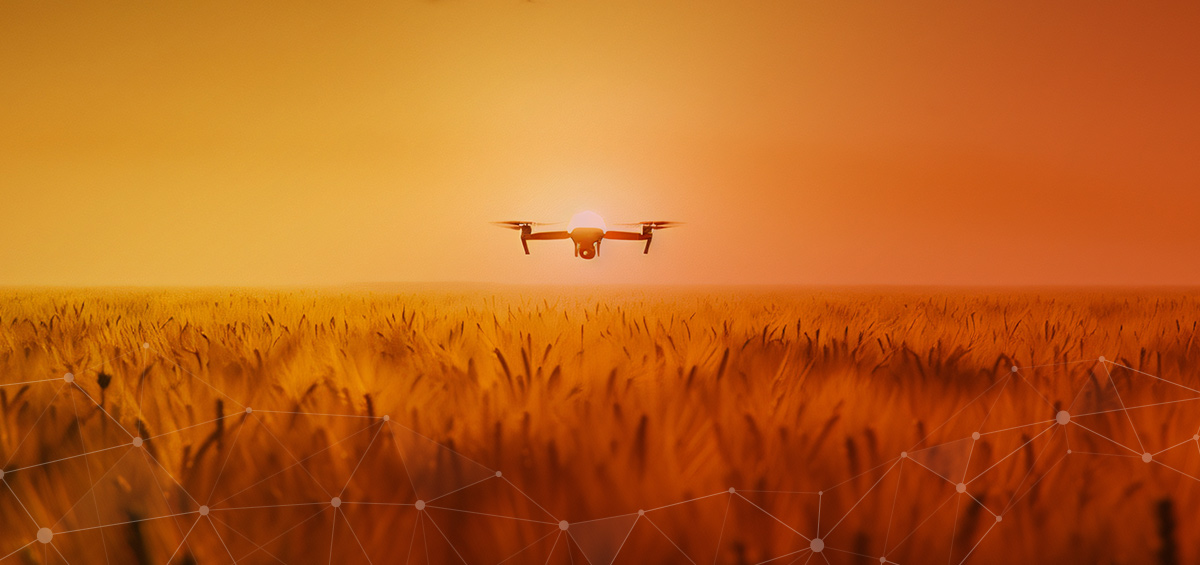
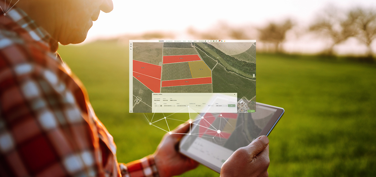
The AgriDrone project connects Skyline Drones’ field imagery directly with AGRIVI’s digital workflows. This workflow strengthens wheat disease detection by combining drone imagery with weather and environmental signals. The goal is a practical sequence: capture → analyse → alert → act Skyline Drones is upgrading drone capability for this collaboration, using high-resolution sensors and additional camera systems (including multispectral and thermal) to capture detailed field signals during key growth stages. AGRIVI uses this imagery as an additional input parameter alongside weather and environmental data to strengthen detection accuracy and localization in the pest and disease detection workflow.
Instead of relying on one data source, the approach combines:
drone imagery (high-resolution field signals)
meteorological and environmental data
pest and disease development logic used in the algorithm

Wheat disease detection: two objectives for detection and targeting
AgriDrone is designed around two connected objectives.
1) Improve AI-based disease detection accuracy
By adding high-resolution drone imagery, the system aims to identify risk earlier and pinpoint where pressure is developing. That helps teams focus scouting and decide on protection measures with better timing.
2) Improve Variable Rate Application through vegetation indices
Drone data supports creation of vegetation indices that reveal micro-variations across the field. Those indices can be used to generate prescription maps for variable rate application, so fungicides are applied where needed and at rates aligned with field conditions.
This means the goal is not simply "more data". The goal is a clearer link between what is happening in the field and what action makes sense in specific zones.
For farmers and agronomists, that translates into:
targeted application instead of uniform coverage
fewer unnecessary treatments in low-pressure areas
better timing during narrow windows when interventions work best
If you are also working on application targeting and variable rate decisions, you may find this useful: our overview of how precision agriculture supports better input efficiency and prescription mapping.
Field trials in Romania
Field trials are being conducted across multiple locations in Romania to validate the approach against traditional methods. The trials are focused on understanding how well drone-assisted inputs improve:
early identification of disease risk
localization of pressure within the field
decision support for targeted intervention
The intention is practical validation: what farmers and agronomists see in the field, how it compares to algorithm outputs, and how actionable the resulting insights are during the season. Field validation is essential for wheat disease detection because it checks how alerts match real field observations.
Why drones add flexibility during critical windows
One operational advantage of drones is timing. Drone missions can be deployed based on field need, which matters during periods such as:
flowering (when Fusarium risk can increase)
wet, disease-favouring conditions (relevant for Septoria spread)
When conditions shift quickly, timely capture supports timely decisions. With the AgriDrone workflow, imagery is translated into insights that support decision-making when response time matters most.
What this enables for crop protection decisions
When detection and application targeting improve together, the system supports a more precise crop protection approach:
apply where needed, rather than treating the whole field by default
reduce unnecessary chemical use in low-pressure zones
support cost control without weakening protection intent
contribute to more consistent crop quality outcomes
Over time, this approach also supports better decision feedback loops. Field observations and trial results help refine the model and improve performance for real conditions.
A Croatia - Romania collaboration built for practical farming workflows
AGRIVI brings agronomic expertise, an established platform, and the existing disease and pest detection workflow. Skyline Drones contributes advanced field imaging and the ability to capture high-resolution field signals at the right time.
Together, the focus is practical: strengthen wheat disease detection, improve targeting, and validate performance through real field trials.
What comes next
As field trials progress and validation continues, the goal is to refine accuracy and usability so farmers and agronomists can act earlier and more precisely, while keeping workflows practical for day-to-day operations.
If you would like to learn more about the AgriDrone collaboration, you can also read Skyline Drones’ project page here.
 through the Eurostars programme.")

Ready to digitalize your farm?
See how AGRIVI can help you apply these insights in your own operations.
Book a Meeting